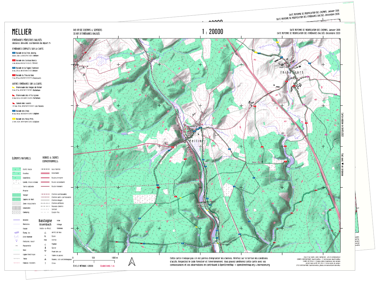
Local maps, at free price, optimized for hiking.
Available maps
Our maps are available for download at 300 dpi resolution in the map or the list below. If you would like a high resolution map, an update or a custom location, contact us. Thank you for supporting us.
View full list
Would you like a map of a particular place?
Contact us!
Support us
Do you like our maps? They are free to download but we invite you to pay what you can to cover the costs of this project (website hosting, making the maps, promotion...).
You can make a bank transfer to the account of Champs-Libres: IBAN BE27 5230 8062 6273 (BIC: TRIO BEBB) with the communication "hiking osm".
Or use the button below.
We donate 50% of these collected funds to the OpenStreetMap Belgium association.
F.A.Q
How accurate are these maps?
Practically no map is free from error. In particular, features such as tracks and markings trails can change rapidly over time.
We make no guarantees as to the accuracy and completeness of the information on our maps. Nevertheless, we know from experience that OpenStreetMap data is becoming more accurate and precise year by year.
A word of advice: the tracks denoted as 'mauvais chemins' are, as the name suggests, less well marked and are more likely to be overgrown and difficult to walk.
Is there a mobile app with these maps?
There are plenty of mobile map and hiking apps out there. Good news, the vast majority of these use exactly the same data as our maps: OpenStreetMap.
If you want to combine our maps with a hiking app, we recommend installing an app that keeps data offline (there are still many white areas in the forest) and won't keep track of your personal data, like OsmAnd, WindyMaps, MapsMe.
Is your product unique?
No, there are several solutions to print your own maps. Take a look at MapOsmatic, Inkatlas, ... But, to our knowledge, few of these platforms guarantee you maps with a cartographic style suitable for printing.
What is your business model?
We use open data (OpenStreetMap, public elevation data), open-source mapping software and map style. However, this offer of maps has a cost: the retouching of some elements of our maps "by hand", our promotional work, the hosting of this website, etc. This is why we offer these maps for download at a "Pay what you can" price. Some printed maps are also available for sale for €3.00, in high quality prints, at various locations.
The money collected is partly redistributed to OpenStreetMap-Belgium (50%), the association that supports the OpenStreetMap contributor community in Belgium.
I am a tourist operator/accommodation manager, can I print/use/distribute/sell your maps?
Yes. The maps are available under a CC By-Sa 4.0 license. This means you can print them, use them, distribute them and even sell them. If you are a tourist operator, we recommend a selling price of 3,00€ for an A3 print. We distribute some of our maps ourselves in various tourist offices.
.In the event that you make some profit from the sale of these maps, we would be grateful if you would support the project financially. In all cases where you reuse our products in some way, please let us know as well!
If you are interested in collaborations or other products (posters, on-demand maps, participatory mapping), contact us!
Do you make custom prints/products, or participatory mapping workshop facilitation?
Of course. If you are interested in collaborations or other products such as high quality prints, large formats, more complete atlases, or accompanying participatory mapping workshops for any type of audience, contact us!
